Description
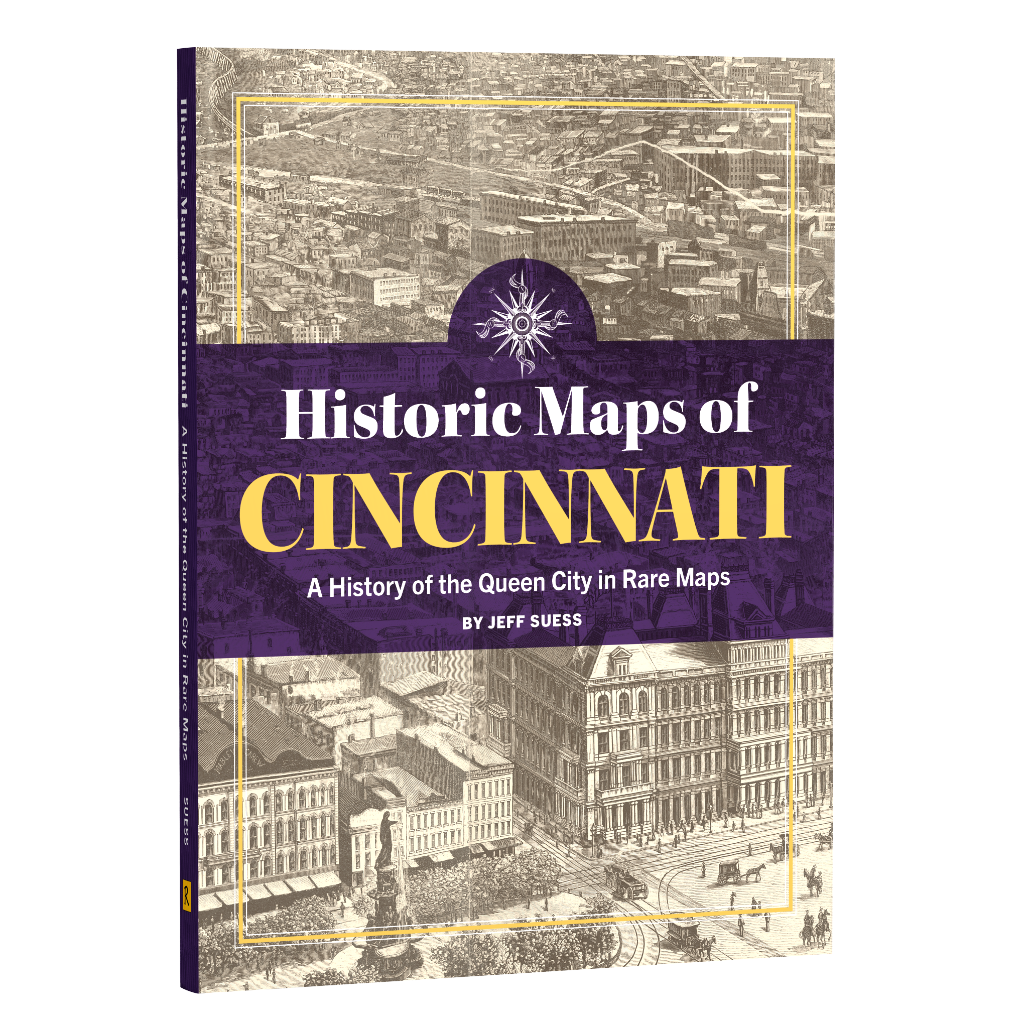
Title: Historic Maps of Cincinnati: A History of the Queen City in Rare Maps
Author: Jeff Suess
Size: 9 x 12
Binding: Hardcover
Pages: 176
ISBN: 9781681067148
Price: $42.00
This product is listed as a preorder. Books will ship starting April 15, 2027.
Cincinnati was the first major city settled after the American Revolution. As the largest boomtown in what was then the West, situated on the Ohio River at the start of the steamboat era, it quickly grew to be one of the most important American cities in the 19th century. Every stage of that growth was documented on maps, tools of the day that also captured the history of those moments in time.
Historic Maps of Cincinnati showcases a wide range of colorful and noteworthy maps of the city and region—including Northern Kentucky—across more than two centuries as Cincinnati evolved from a frontier river town to the meatpacking capital Porkopolis to the modern-day Queen City.
Author Jeff Suess delves into the history of these rare maps, from the first town plat and charts of the Northwest Territory to Sanborn fire insurance maps and proposed city master plans. Along the way, he reveals stories of native burial mounds, the Underground Railroad, devastating disasters, Civil War fortifications, and the unfinished subway.
AUTHOR

Jeff Suess is a history columnist for the Cincinnati Enquirer and the author of several history books, including Cincinnati: An Illustrated Timeline, Lost Cincinnati, Hidden History of Cincinnati, Cincinnati Then and Now, and Tomorrowland: The Past, Present, and Future of Disney’s Most Changed Land. He is also coauthor of books on the Cincinnati Bengals and San Francisco 49ers. Jeff grew up in Modesto, California, and lives on Cincinnati’s West Side with his wife, Kristin, and their daughter, Dashiell.